Fort Worth District
Lakes and Recreation Menu
Lake Information
The Lavon Lake Dam is located at river mile 55.9 on the East Fork of the Trinity River, approximately 3 miles East of Wylie, Texas. Lavon Lake is approximately 21,400 acres in size. Lavon is part of the Trinity Project in the Fort Worth District of the U.S. Army Corps of Engineers. Approximately 1.6 million people visit Lavon Lake each year to enjoy camping, fishing, swimming, boating and much more.
Our Mission
Water is a finite resource and The United States Army Corps of Engineers are the principal developers and custodians of this resource.
The Corps of Engineers is separated into 13 Divisions. Under these divisions are 38 districts. The boundaries of these districts are based upon the watershed limits of the various streams that comprise their area of responsibility. This system provides an efficient communication system for control, regulation, and monitoring.
Southwestern Division Headquarters is located in Dallas and directs 5 Districts (97 reservoirs) in Texas, Oklahoma, and Arkansas. The Fort Worth District Office is located in Fort Worth, which operates a total of 25 reservoirs in Texas of which Lavon Lake is one.
When local interests feel that a need exists for construction or improvement of a water resource project, they petition their representative in Congress. The Corps of Engineers makes a study and assembles all data that would have a bearing on the economic and engineering solutions and their impact on the environment. This is done in conjunction with other federal and non-federal agencies concerned.
Prior to construction, archaeologists conducted an environmental survey. From these studies, we have learned Collin County was once covered by warm seas about sixty million years ago. These warm seas contained many species of plants, fish, clams, and reptiles that have long become extinct or have evolved into other life forms. After millions of years the seas receded and the animal/plant life fossil beds became the white rock, which underlies the fertile black soil (called Houston) in Collin County. During the age of the dinosaur, some of the reptiles stood twenty feet tall and were eighty feet long. Many fossilized bones of these creatures have been found around Lavon Lake and are on display at the Heard Natural Science Museum located near McKinney, Texas.
Excavation digs also indicate human like-forms dating as far back as 100,000 years ago. Around 700-800 A.D., a major change began in the way of life for the prehistoric inhabitants of Collin County. At this time clans began to congregate along the East Fork of the Trinity because the smaller tributaries were drying up due to a general drought throughout north Texas. The most prominent group of Indians living in Collin County was the Caddo tribes. These early groups of people lived in villages in homes made of sticks and mud.
When the first European settlers came to Collin County in the mid-1830’s, the only Indians in this area were a few bands of Tonkawas, Cherokees, Delawares, and Kickapoo settlements. These groups were not native Collin County people but were pushed west by the European settlers. By 1854 the town of Lavon became a settlement. It was named after the son of E.C. Thomson, who managed the U. S. Post Office in the family’s general store.
Generally dams are named after the closest town near the structure. Lavon Dam is located on the East Fork of the Trinity River between Wylie and Lavon, in Collin County; about 25 miles northeast of the City of Dallas.
Purpose
- Flood Control
- Water Supply
- Recreation
I. Flood Control
The main purpose of Lavon Reservoir is to prevent flooding on the Trinity River. Lavon Lake provides protection to the East Fork of the Trinity River with a 35-year occurrence flood protection.
Water releases from the lake are planned and coordinated by the Hydrology Section of the Fort Worth District. These engineers and technicians are trained in the management of water. Their evaluations must include rainfall over the watershed and areas downstream, elevation of the reservoirs downstream, projected weather conditions, and water releases from other lakes into the river system. The Trinity River receives discharges from Lavon, Lewisville, Benbrook, Grapevine, Bardwell, and Navarro Mills (all operated by the Corps), as well as Lake Ray Hubbard, North Lake, Cedar Creek, and other smaller private/city lakes. To collect the data necessary to make such decisions requires an extensive network of equipment.
II. Water Storage
The natural course of a river is to fill up and overflow into the surrounding riverbeds during the spring rainy season. After the summer rainfall diminishes and the river flow lowers, many springs and creeks dry up. Hydrologists have learned methods of controlling the river flow so that we no longer have to suffer the extremes of droughts and floods. Therefore, another of our primary functions at Lavon Lake is to conserve and manage this water supply for a growing population so that water is available upon demand.
At the normal pool store 380,000 acre-feet of water (1 acre-ft. equals 1 acre of water, one foot deep, or 325,850 gallons), which is approximately 123 billion gallons at conservation pool level. Space above this water level of 492 is termed “flood control pool level.” Lavon can store 275,600 acre-feet of water (approximately 90 billion gallons) above conservation pool to a level of 503.5 elevation. Lavon reservoir also has a sediment reserve area that holds 92,600 acre-feet of water, approximately 30 million gallons of water. The sum total of the three pool levels gives Lavon a total storage capacity of 748,200 acre-feet, or 245 billion gallons of water.
North Texas Municipal Water District
The North Texas Municipal Water District was created in April of 1951 for the providing a source of clean water supply. It serves 65 municipalities and over 1.5 million people in North Central Texas. It has the capability to pump 350 mgd (million gallons per day) from Lavon Lake to achieve this end. The District operates on revenues from the sale of water to these various cities and towns and then in turn, reimburses the federal government from these revenues to cover costs and expenditures. The brick building located near the dam is the intake motor house. The concrete pier out in the lake near the structure is an intake structure. It draws water from the lake to take to the plant to be processed for municipal and industrial user.
Ray Olinger Power Plant
Ray Olinger Power Plant located near Little Ridge Park began operation in 1967. It is capable of producing 3525 megawatts of power.For more information please contact Garland Power and Light Company.
III. Recreation
Resource development was also authorized (Public Laws 83-780 and 86-717) and is recognized as a project responsibility. The management and development of resources are primarily aimed at obtaining optimum utilization of the project resources for public use, recreational activities and proper stewardship of the water and land areas.
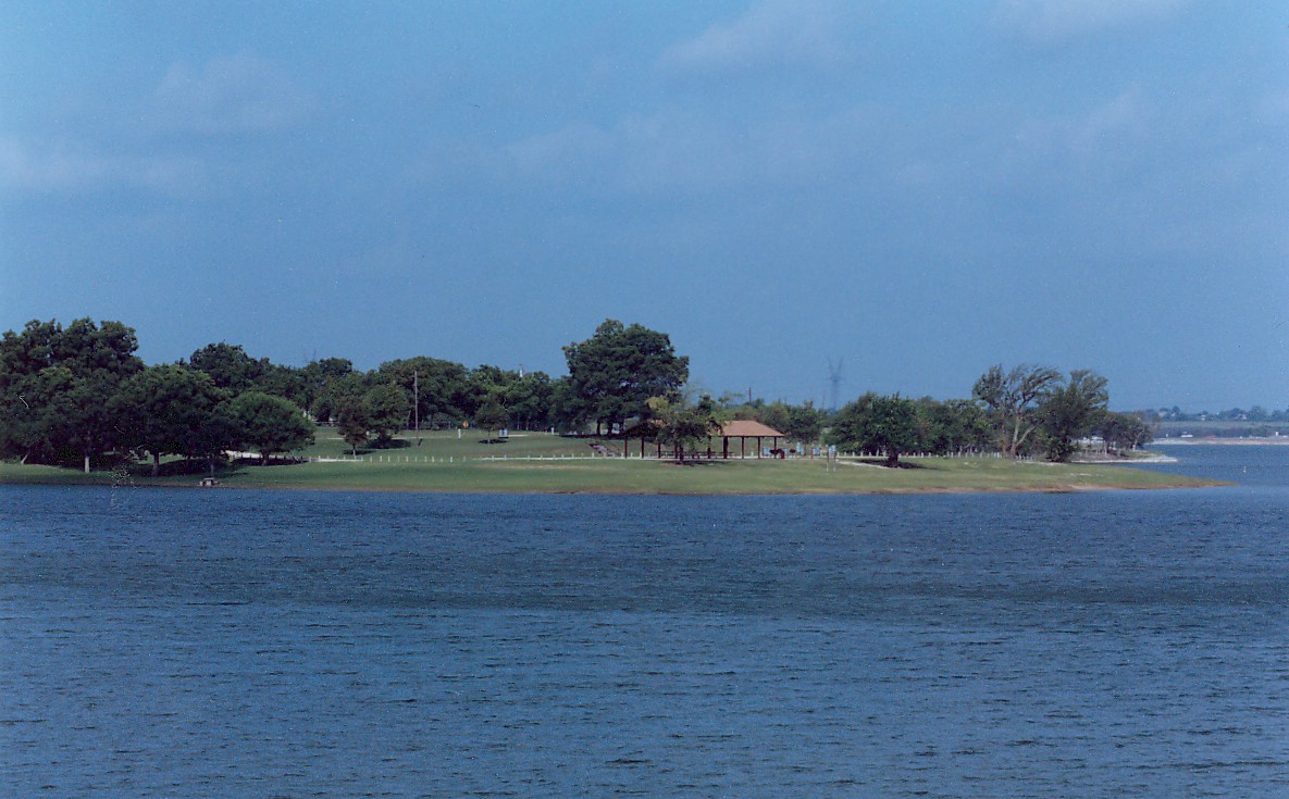
Approximately 4 million visitors utilize Lavon Lake’s 38, 327 acres each year. Lavon Lake has 16 parks, 244 picnic sites, 19 4-lane boat ramps, 5 beaches, 71 tent camping sites with water, 167 camping sites with electric and water hook-ups, a handicapped park, and 6 group shelters for large group picnics. Lavon Lake is also home to the Trinity Trail, a 9-mile equestrian and hiking trail, located between Brockdale Park and East Fork Park. In addition, Sister Groves Park, a 75-acre hike/bike trail is located between Princeton and Farmersville, adjacent to Lavon Lake. The primitive trail is open for day use only for hiking and off-road bicycling.
There are several species of game fish present including crappie, white bass, black bass, channel catfish, striped bass and hybrid bass. All federal and state game laws apply with the limits being set by the Texas Department of Parks and Wildlife. There are several boat ramps accessible 24 hours a day: Brockdale, Highland, Bratonia, Twin Groves, Elm Creek, Little Ridge, Mallard, and Lavonia-South.
Lavon Lake provides 6,500 acres of wildlife/hunting, designated as wilderness areas to help fulfill our obligations in accordance with the Fish and Wildlife Coordination Act of 1958, as amended Public Law 85-563. Game species normally available in sufficient quantities to hunt include: squirrel, cotton-tailed rabbit, morning dove, bobwhite quail, waterfowl and feral hogs.
There are also two privately owned marinas and one fishing pier located on Lavon. Their facilities include fishing supplies, gasoline, snacks, soft drinks, rental of boat slips and boats.
Lavon Lake also provides 5,531 acres in supplemental hay and grazing land on a competitive bid basis. Further information is available at the Lavon Lake Office.
Our staff of Rangers serves a multifaceted role in maintaining public safety and law enforcement. Lavon Lake is primarily under the jurisdiction of Collin County Sheriff’s Office and the City of Wylie Police Department.
Early Construction
The Lake Lavon Project was authorized by Congress in March of 1945 under Public Law 79-14-1 of the River and Harbor Act for Flood Control and Water Conservation. The dam controls run-off from an area primarily located in Collin and Grayson Counties; roughly 770 square miles surrounding headwaters of the East Fork of the Trinity River. This authorization was amended in 1946 to include recreational purposes. Therefore, Lavon Lake’s purpose became threefold: 1) flood control 2) water supply and 3) recreation.
Construction began in January of 1948 and was completed six years later in March of 1954 at a total cost of $18,554.570. In 1962, Congressional approval was given to modify the project to increase storage for water supply because of the growing water supply need of the area. This modification increased the conservation pool of Lavon Lake 20 vertical feet, bringing the normal pool elevation form 472.00 Mean Sea Level (MSL) to the current 492.00 MSL. This involved raising the top of the dam 12’, extending the embankment 9,994’, and raising the spillway crest 13.5’. Thus bring the current top of the earthen dam to 514’, the embankment to 18,910’ (including the spillway), and the spillway crest to 475.5’. The modification began on 15 May of 1970 by H.B. Zachary Company and was ready for beneficial use in December 1975, bringing the grand total cost to $88,351.248. The dam is now 19,493 feet long (3.7 miles), which includes the levee, spillway, and dam, and is approximately 81’ above streambed.
This was accomplished by constructing a cofferdam. A cofferdam is a temporary structure made from interlocking steel piling set on their ends, side by side, in a circular pattern; the interior is then filled with rock and gravel.
Cofferdams are to keep the water away so that they could pour concrete on top of the old structure, move all tainter gates upward and forward, raise the original bridge with cranes (a section at a time) to the top of the new concrete structure. Then the dirt was removed from the cofferdam and repeated on the other side. Thus enabling the dam to remain operational during the modification. This was done on only half of the structure (concrete dam) at a time so that release could still be made.
A new embankment was constructed behind the office. This required a tremendous amount of soil, which was obtained from borrow pits. A borrow pit is an area where soil is removed from an area to supply dirt for an earthen dam. One such pit is located north of Little Avalon, although soil is usually taken from areas that are to be covered with water.
Modifications
Lake Elevation in 1954 - 472' MSL
Lake Elevation in 1975 - 492' MSL
Summative
Releases
The maximum reservoir elevation (since modification):
Elevation 504.93 at 1700 hours on 3 May 1990.The most that has ever been released from Lavon Dam
54,000 cfs on 3 May 199012 gates open 4 ½ feet each
Normal Conservation Pool elevation (492) stores
380,000 acre-feet of waterApprox. 123 billion gallons
Flood Control pool level (503.5) stores
An additional 275,600 acre-feet of waterApprox. 90 billion gallons
Total Lake Storage
748,200 acre-feet245 billion gallons of water
(1 acre-ft. equals 1 acre of water, one foot deep, or 325,850 gallons.)
Project personnel maintain 38,327 acres.
Approx. 4 million visitors each year.
Drainage area is 770 sq. mile
Construction began Jan. 1948
Construction ended March 1954
Total Cost..................$18,554,570.00
Modifying Construction began 1962
Modifying Construction ended 1975
Modification Cost..... $69,796,678.00
Grand Total Cost...... $88,351,248.00

